AIS navigation marks
Define the location and type of each mark in software for transmission to compatible AIS displays within coverage.
AtoN House Nordic · Virtual AtoN
Virtual AIS buoys for channels and work areas
NaviSuite Perio manages navigation marks broadcast from a shore based AIS transmitter to compatible vessel displays. Place, activate and reposition virtual marks in software, without deploying a physical buoy at each marked position.
Key features
Plan and manage AIS AtoN marks in software, with a transmitter and receiving displays forming part of the system.
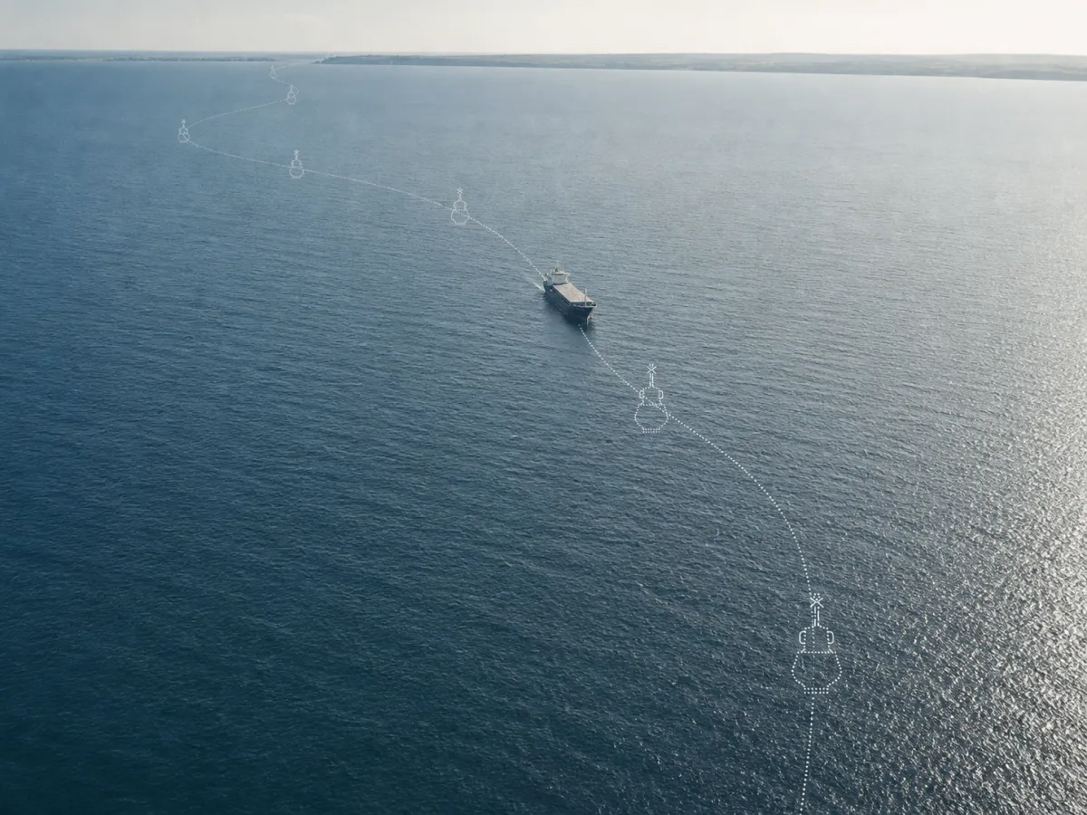
Define the location and type of each mark in software for transmission to compatible AIS displays within coverage.
A virtual mark does not require a physical buoy at its location. The shore based transmitter, software and supporting infrastructure are still required.
Specify the number of virtual or synthetic AIS objects required. Licence scope and transmitter capacity are confirmed for the proposed configuration.
Server and transmitter redundancy can be included in the system configuration, with the required arrangement confirmed for the project.
The existing system offering includes online access and automatic backup. Hosting and backup arrangements are specified for the deployment.
Switch marks on or off and reposition them freely in software instead of physically relocating hardware. New selections are created quickly.
Charts, satellite imagery and survey data are shown as background layers for planning and monitoring the virtual marks.
Activate, deactivate or reposition a virtual mark in software without moving a buoy at the marked location.
Applications
An alternative or supplement to physical buoys in a range of scenarios.
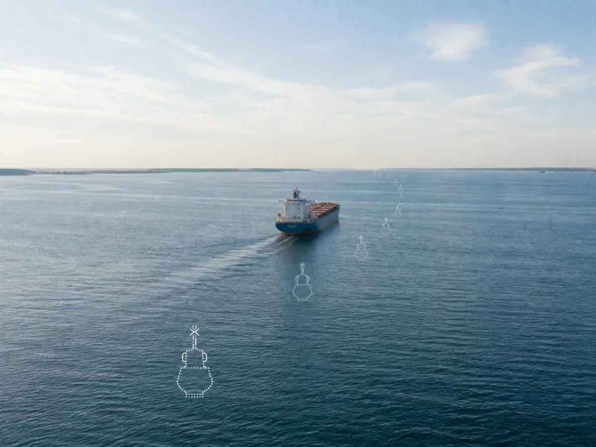
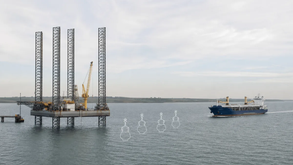
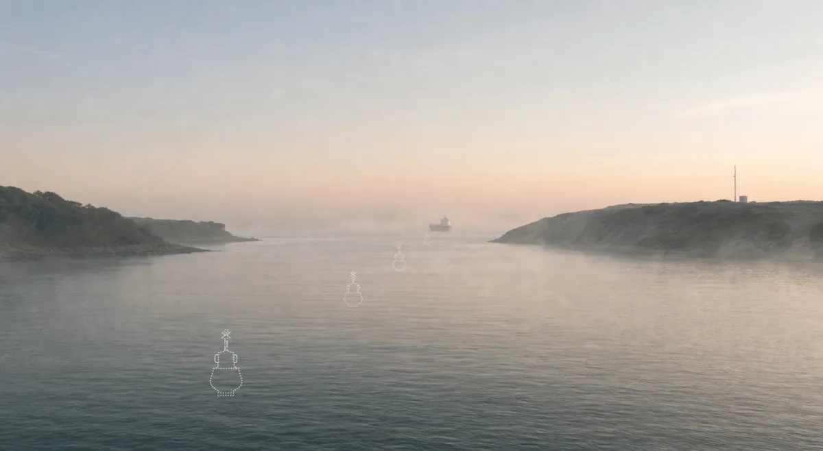
Mark the deepest part of the channel to assist large ships in the vicinity.
Provide AIS marks for temporary construction areas, cable work and other defined project zones.
Mark the position of towed seismic or other underwater equipment for vessels receiving the AIS information.
Assistance with seabed surveys, especially for deepwater wells, alongside the virtual marking.
How it works
NaviSuite Perio defines the marks; shore based AIS equipment broadcasts them to compatible vessel displays within coverage.
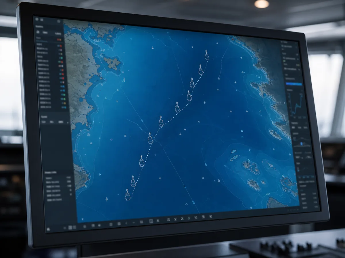
Place the virtual mark in NaviSuite Perio using the planned position and buoy type. A shore based AIS transmitter broadcasts the AtoN message over VHF. Compatible vessel displays within coverage can show the mark.
Vikingegaarden helps specify the software, transmitter site, marking plan and support arrangement. Marks can be activated, deactivated and repositioned in software as the approved marking requirement changes.
Define each mark and its position in NaviSuite Perio
Broadcast AtoN messages through the shore based AIS transmitter
Verify reception on compatible vessel displays within coverage
Manage activation and positions in software
Specify redundancy, backup and support for the installation
Ecosystem
Our partner manufacturer develops NaviSuite Perio. Vikingegaarden supplies it through AtoN House Nordic and fits it into your marking plan.
Vikingegaarden delivers NaviSuite Perio through AtoN House Nordic and helps with the transmitter site, marking plan and approvals. Software support and updates are included according to the selected agreement. Virtual marking can be combined with physical buoys, lanterns and beacons from the same range.
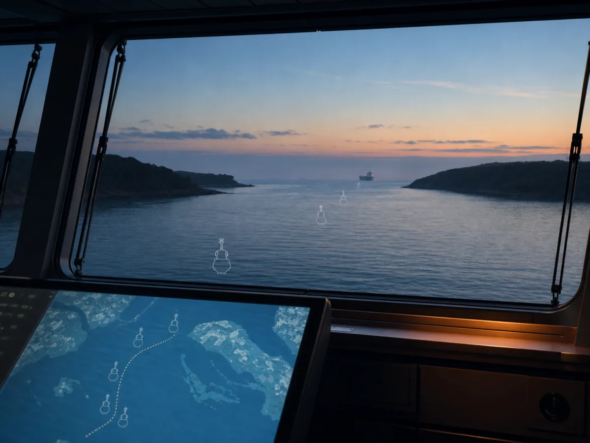
Technical details
A software product: the marks exist on the AIS network and on chart displays, not in the water.
AIS object capacity, licence scope, hosting and the server and transmitter redundancy arrangement are confirmed for the proposed system.
AIS AtoN capacity and licensing are confirmed for the selected software, transmitter and deployment.
Ask about a specification| Spec | NaviSuite Perio |
|---|---|
| Type | Virtual and synthetic AIS AtoN broadcasting |
| Capacity | On request |
| Control | Switch marks on and off, reposition them in software |
| Background layers | Charts, satellite imagery and survey data |
| Support | 24/7/365 helpdesk and ongoing software updates |
Product guide
Virtual buoys support channel marking, temporary work areas and underwater equipment marking. Their use depends on the transmitter coverage and the receiving equipment used by vessels.
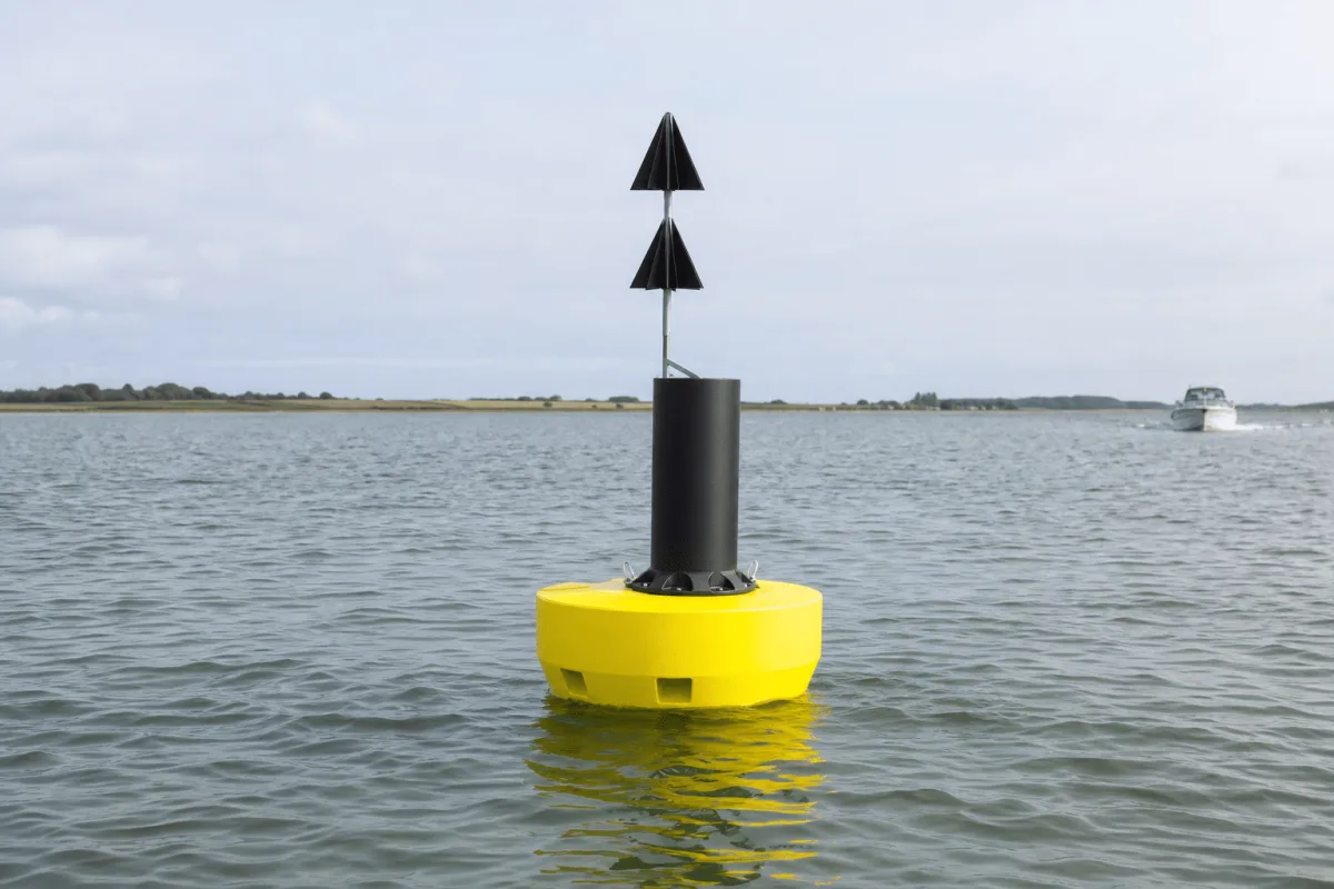
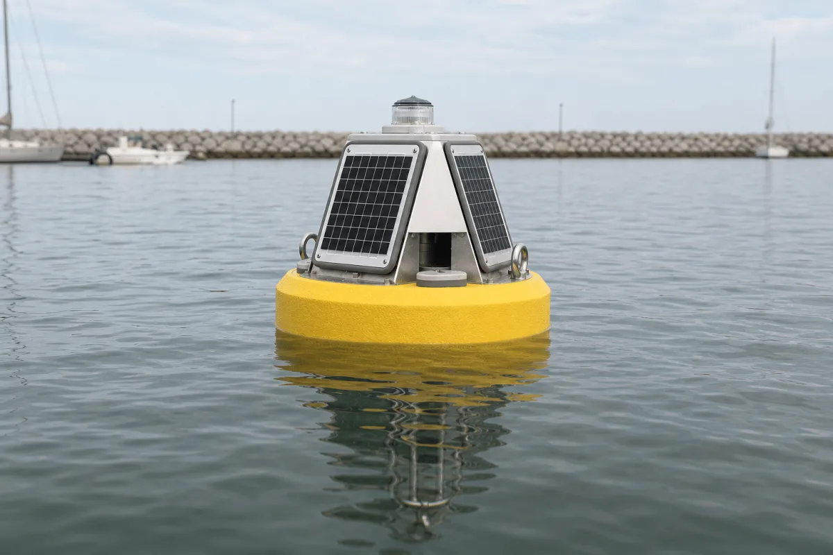
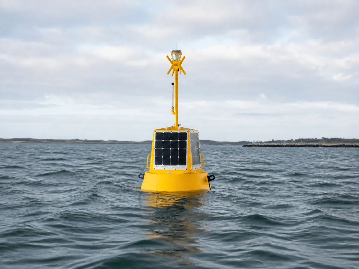
A virtual AIS mark has no buoy at the marked position. Its location and type are broadcast from shore and shown on compatible vessel displays. Physical navigation buoys provide a visible mark in the water, including for craft without suitable AIS displays. The marking plan determines how the two are combined.
NaviSuite Perio allows marks to be activated, deactivated and repositioned in software. This supports temporary construction zones, cable areas, channel marking and underwater equipment marking. Chart, satellite imagery and survey layers provide background information for planning the positions.
The system includes software and shore based AIS transmission equipment. Specify the number of marks, their locations, intended duration, transmitter site and vessels using the area. Capacity, licence scope, hosting, backup and redundancy are confirmed for the proposed configuration.
Vikingegaarden supplies the system through AtoN House Nordic and assists with the marking plan, transmitter placement and approvals. The support and update agreement is selected with the system. Lanterns and fixed beacons can form the visual part of the same plan.
A closer look


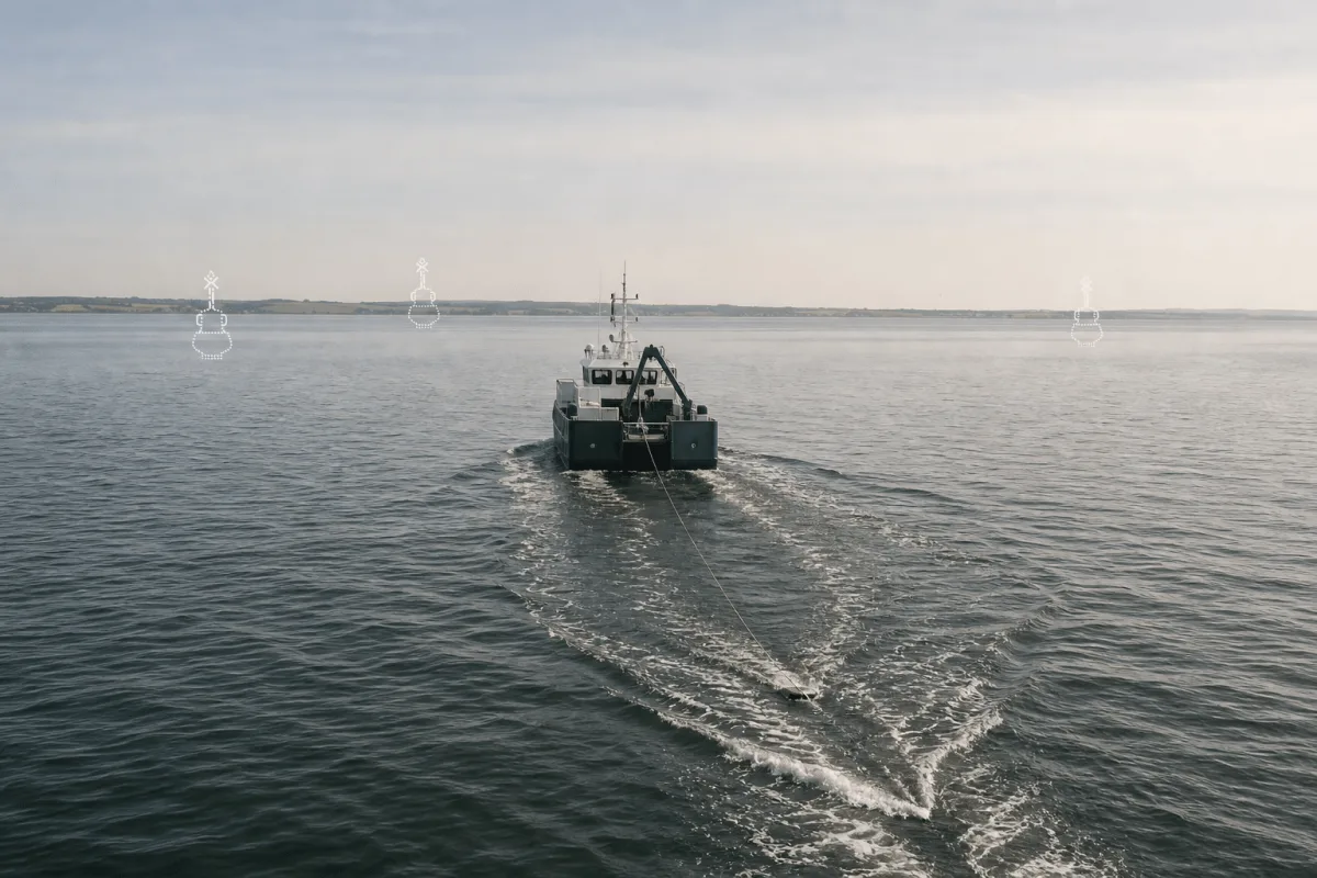

Good to know
It is an AIS aid to navigation defined in software and broadcast to compatible vessel displays. There is no physical buoy at the marked position; the system uses shore based transmission equipment.
A vessel needs suitable AIS reception and a display that supports AIS AtoN marks, and it must be within transmission coverage. The marking plan must account for the equipment used by vessels in the area.
NaviSuite Perio uses a shore based AIS transmitter to broadcast AtoN messages over VHF. Vikingegaarden helps specify the software, transmitter site and supporting equipment for the project.
Capacity depends on the licence and transmitter configuration supplied. Send the number and locations of the required marks so Vikingegaarden can confirm the system capacity in the proposal.
Marks can be activated, deactivated and repositioned in the software. Changes should follow the project's marking plan and approval requirements.
They can be an alternative or supplement where the marking plan permits it. Physical buoys and lights remain relevant where a visible mark is needed, including for craft without compatible AIS displays.
Have a question about your project?
Talk to our teamExplore
Let’s talk about your project
Tell us what you need to mark, for how long and where a transmitter could be placed. We come back with a proposal for the system and its setup.
Tinnetvej 70, 7173 Vonge, Denmark