Wind at the operating location
Measure wind speed, gust and direction at the harbor instead of relying on a regional station.
Cumulus Systems · Weather stations
Local wind and weather data for harbor operations.
Monitor conditions at your port or marina with the Cumulus WeatherStation. View wind, rain and temperature in the Emiko platform, configure weather alarms and share selected readings with harbor staff and water users.
Key features
The port configuration prioritizes local wind, precipitation and visibility at the waterfront, with controlled sharing to staff and water users.
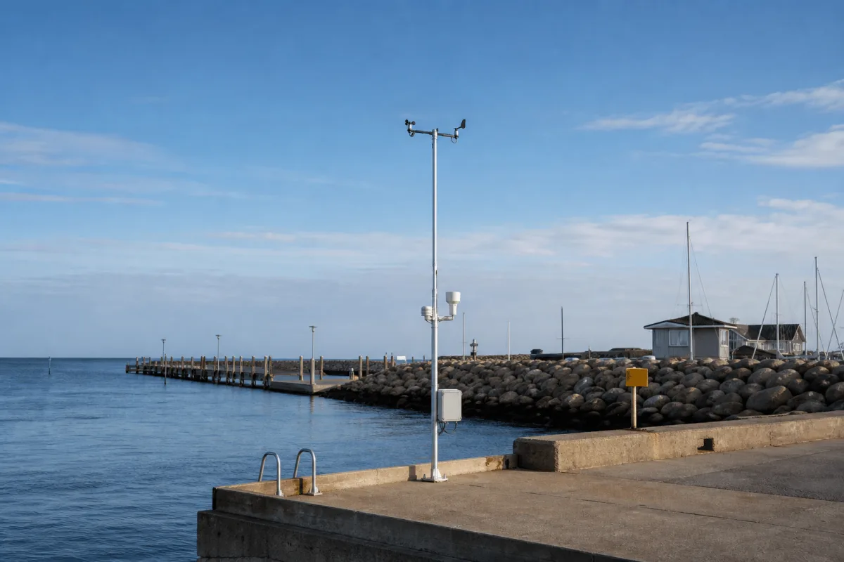
Measure wind speed, gust and direction at the harbor instead of relying on a regional station.
Record air temperature, humidity, dew point and air pressure for the local operating picture.
Rain detection, rain gauge, UV and solar radiation complete the standard observation set.
Add visibility, ice, water level or current measurement when those parameters are required for the site.
EasyShare can publish selected live readings and forecasts to a website or dashboard and share data with DMI.
Configure warnings for conditions such as high wind, storms or frost, with notifications issued through Emiko.
Combine live measurements with the Forecast module and retain historical records for planning and review.
Mount the station where exposure represents the harbor. Use 230 V mains or a solar configuration where grid power is unavailable.
Applications
From commercial port management to a marina's sailors deciding whether to go out.
Accurate wind speed and direction assist safe navigation and docking procedures in the port area.
Temperature and rainfall data support cargo storage and handling and help plan port activities in adverse weather.
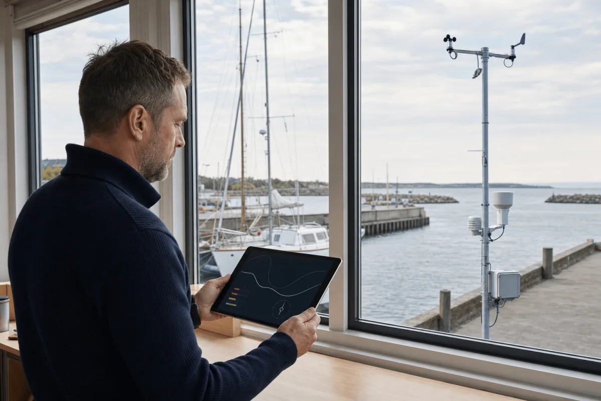
Alarms for critical weather alert port personnel and vessel operators; harbor masters access the data from any location, even off site.
Accurate information and safety for sailors going out, kayakers, SUP paddlers and surfers, straight from the nearest station in the app.
How it works
The system measures conditions at the port, transmits them to Emiko and distributes only the views and warnings required by each user group.
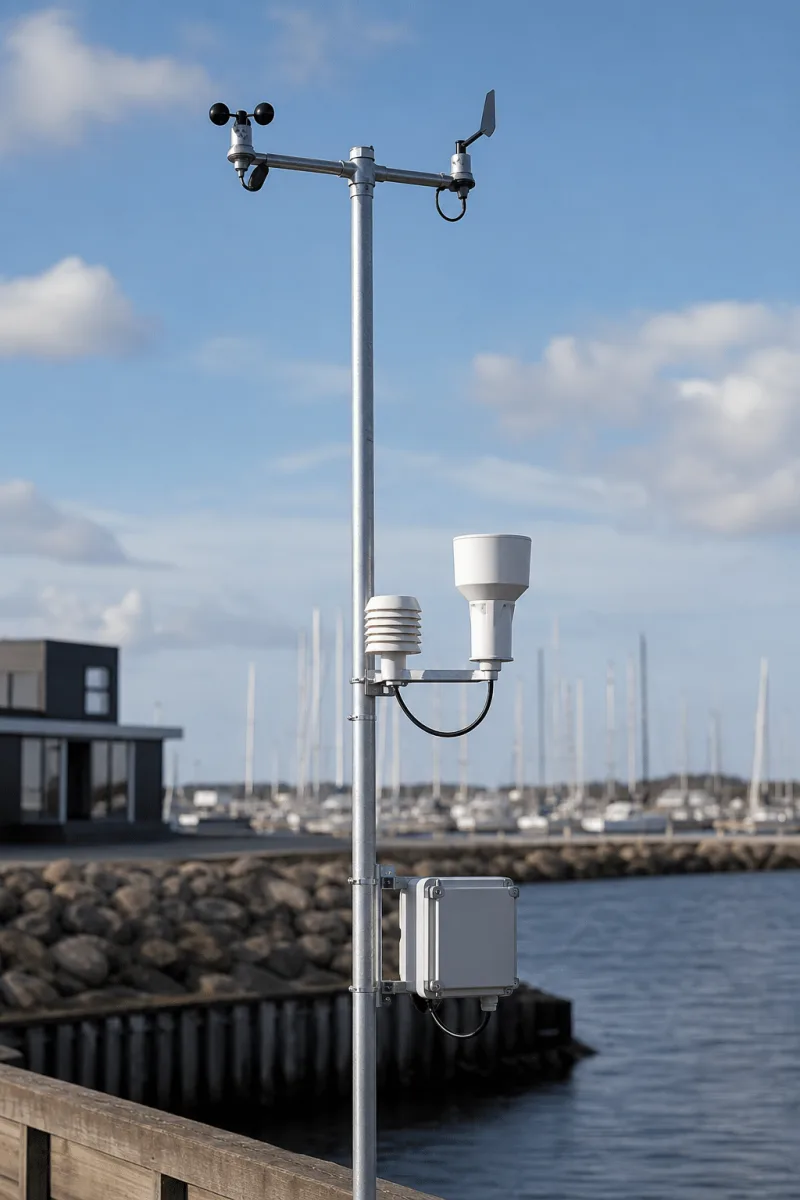
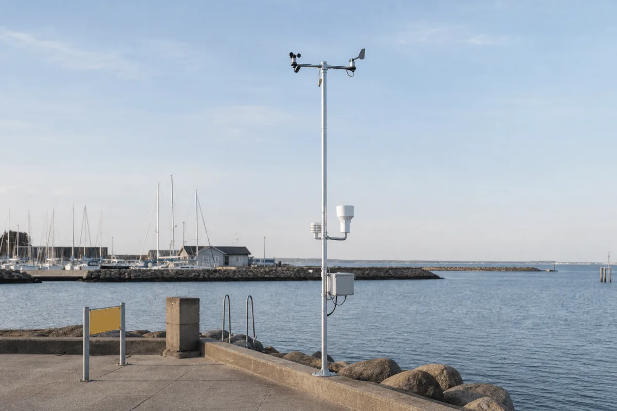
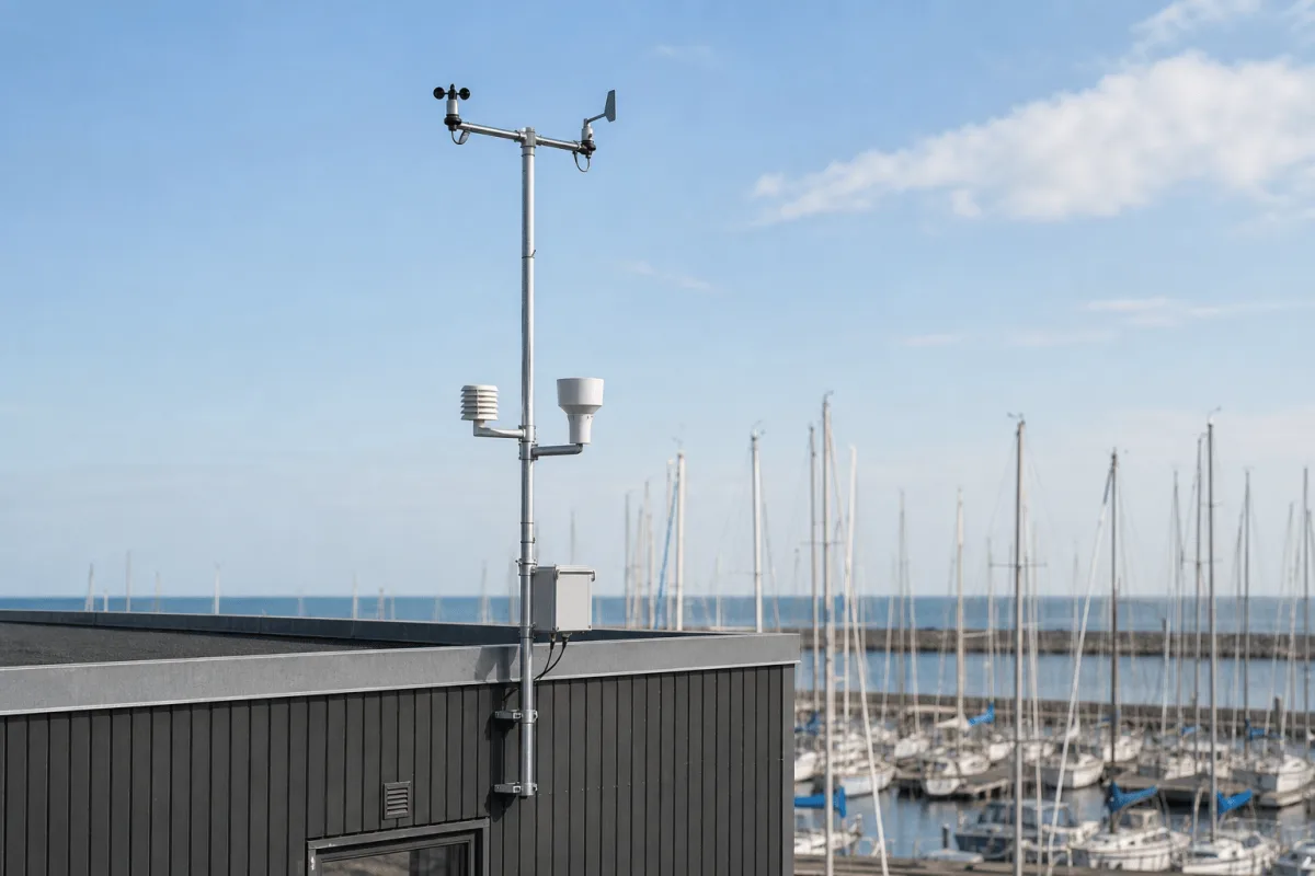
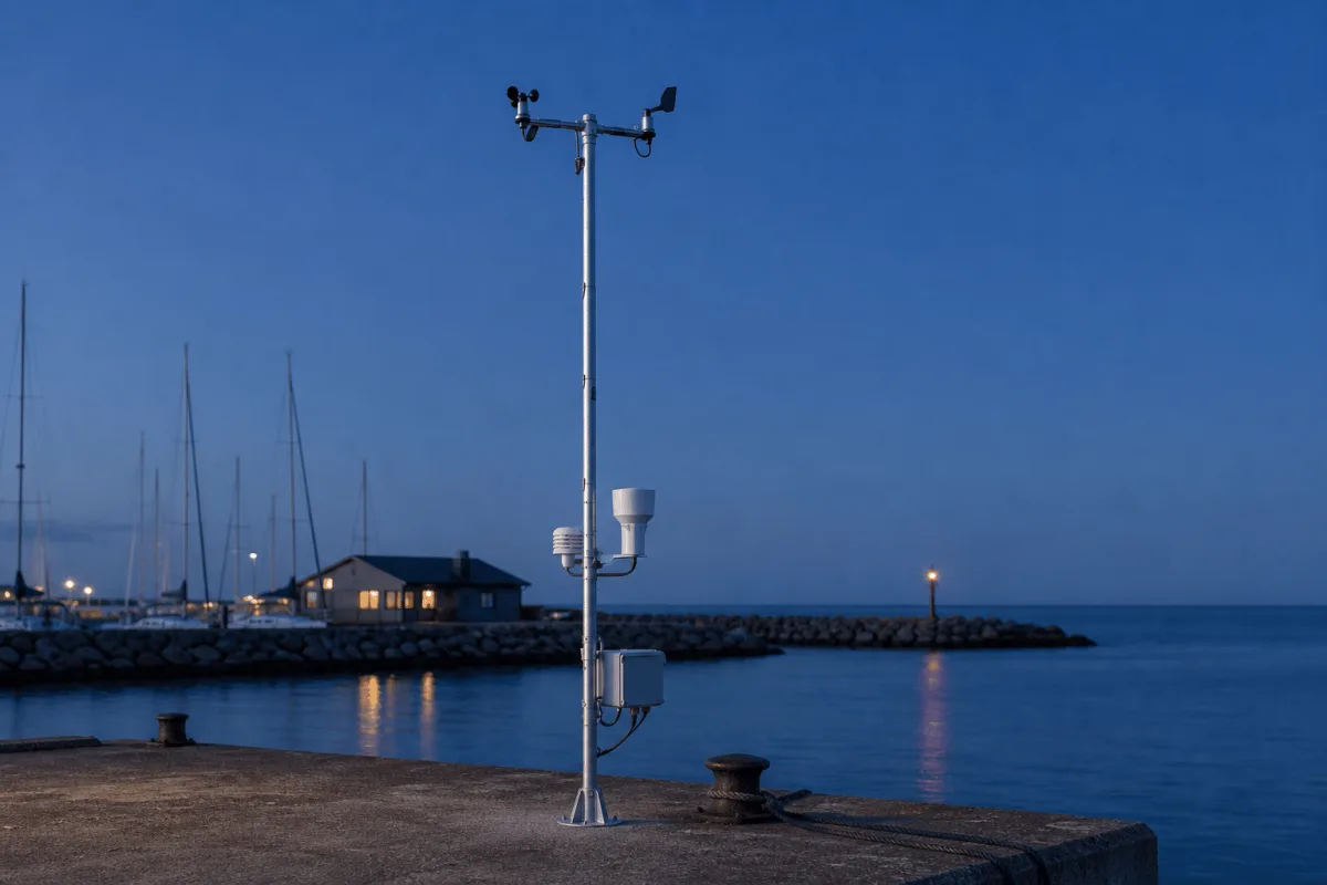
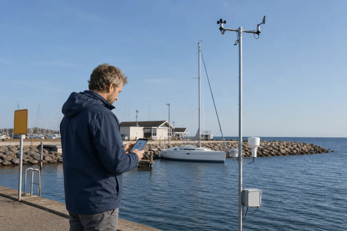
The port configuration places the mast where wind is representative of the maneuvering area, commonly on a breakwater, pier or harbor-office roof. The crossarm carries the wind sensors, while the shielded temperature and humidity sensor, rain equipment, logger and communications enclosure are arranged for service access. Power can come from 230 V mains or a solar configuration.
Live readings support harbor personnel and vessel operators when planning arrivals, lifting work and exposed maintenance. Authorized users can view the nearest station in the app, while public data can be shared separately when the operator chooses.
Select a location that represents the entrance, waterfront or exposed operating area
Install the mast and the agreed standard and optional sensors
Send live readings to the Emiko platform over the configured connection
Set wind, storm or frost thresholds for operational notifications
Share selected data with harbor staff, water users, a public page or DMI
Pair the station with OceanWatcher where water level, temperature or current are also required
Ecosystem
Emiko provides separate functions for live access, controlled sharing, threshold alarms, forecasts and historical review.
Port readings are delivered to Emiko for live display, history and threshold alarms. The operator can publish selected values through EasyShare, provide them to crews or partners and add forecasting for wind and rain planning. Where OceanWatcher is installed, weather, water level, current and water temperature can be viewed together for the same harbor.
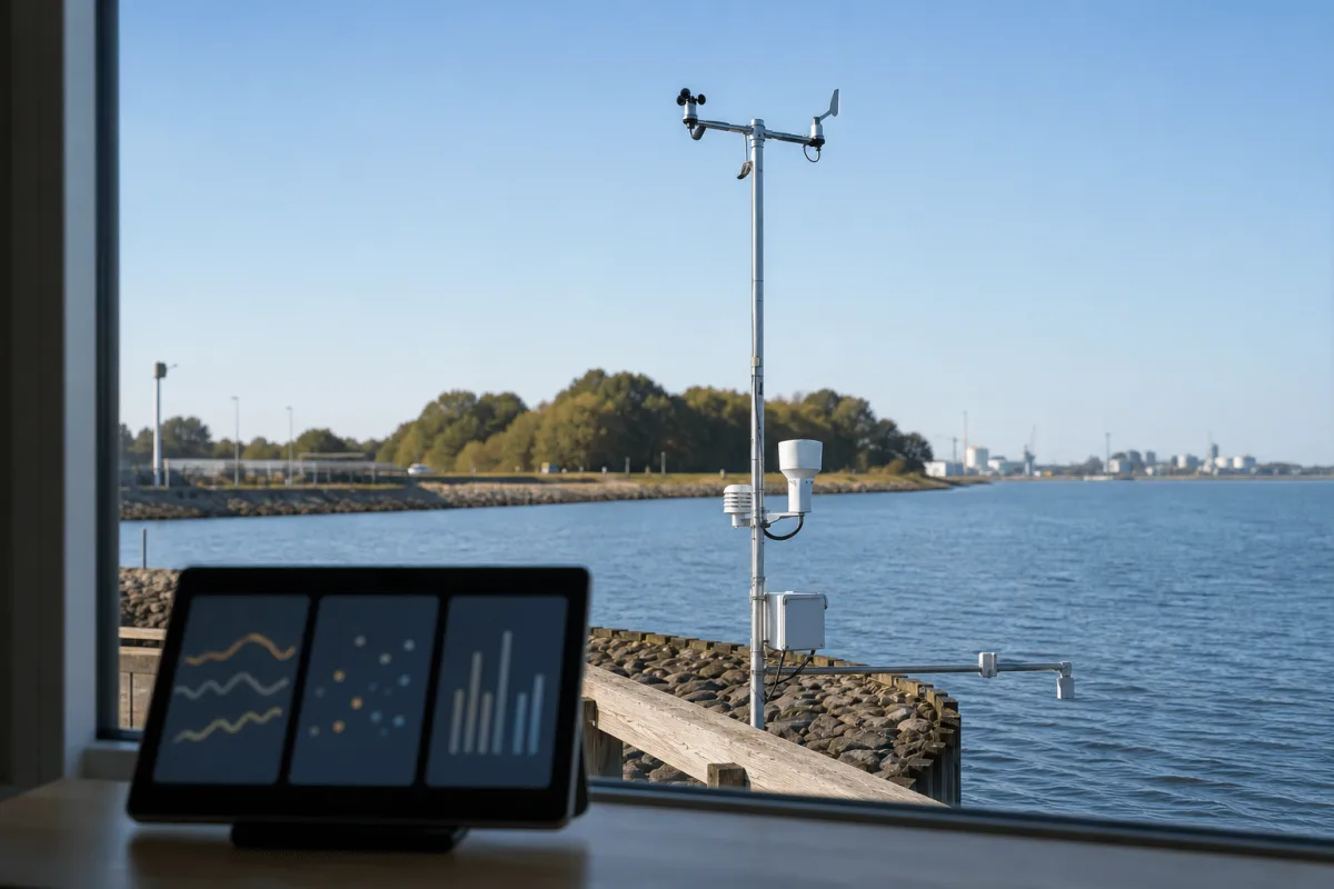
Technical details
Start with wind, pressure, temperature, humidity and precipitation, then add coastal measurements required by the harbor risk assessment.
Ask about a specification| Spec | WeatherStation |
|---|---|
| Core parameters | Wind speed, gust and direction, air pressure, temperature, humidity, dew point, soil temperature |
| Also standard | Rain detection, rain gauge, UV radiation, solar radiation |
| Optional sensors | Precipitation gauge, ice detection, CO2, water level, current, cloud altimeter, visibility meter |
| Derived values | Evapotranspiration for irrigation planning |
| Power | 230 V mains, or solar for off grid installations |
| Platform | Emiko: live app readings, EasyShare data sharing, Warning alarms, Forecast module |
| Mounting | Single galvanised steel mast on a pier, rooftop or open field |
Product guide
A port weather station should support the decisions your harbor team makes each day. Cumulus uses one configurable WeatherStation family, with sensors, siting and data access selected for commercial ports and marinas.
The typical buyers are harbor masters and port authorities of commercial ports, and the boards of marinas and smaller harbors. In a commercial port the readings support daily decisions: wind speed and direction for safe navigation and docking, temperature for cargo storage and handling, rainfall for planning activities in adverse weather, and visibility for traffic management in the port area.
In a marina the audience is wider. Sailors, kayakers, SUP paddlers and surfers log into the app and get live data from the nearest station before they go out. Rungsted Harbor has had a Cumulus station on its roof since 2016, and KDY chairman Lars Ive describes it as a great tool both when sailing and when deciding about a trip on the water with family or friends.
The standard station already measures twelve parameters: wind speed, wind gust, wind direction, air pressure, temperature, humidity, dew point, soil temperature, rain detection, a rain gauge, UV radiation and solar radiation. For many harbors that covers everything the office and the app need.
The optional sensors are where a port configuration takes shape. A visibility meter supports navigation and traffic management when fog rolls into the entrance, ice detection matters in winter operations, and water level and current sensors bring the sea state into the same system. A precipitation gauge, a CO2 sensor and a cloud altimeter are also available. We help match the sensor set to the site before you buy.
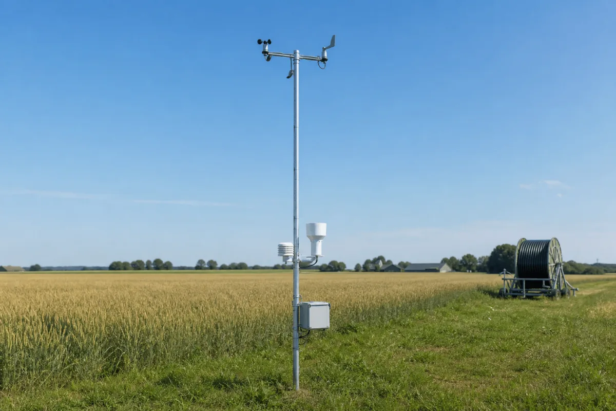
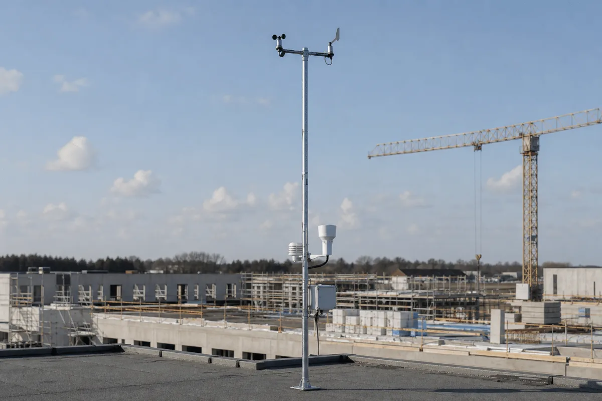
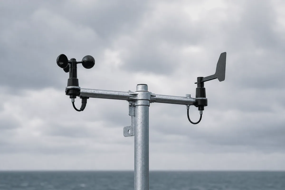
The whole station is a single slim galvanised steel mast: a crossarm with a cup anemometer and wind vane at the top, a white radiation shield for the temperature and humidity sensor, a rain gauge, and a compact logger enclosure lower on the pole. The compact mast layout keeps the instruments together and allows access for service.
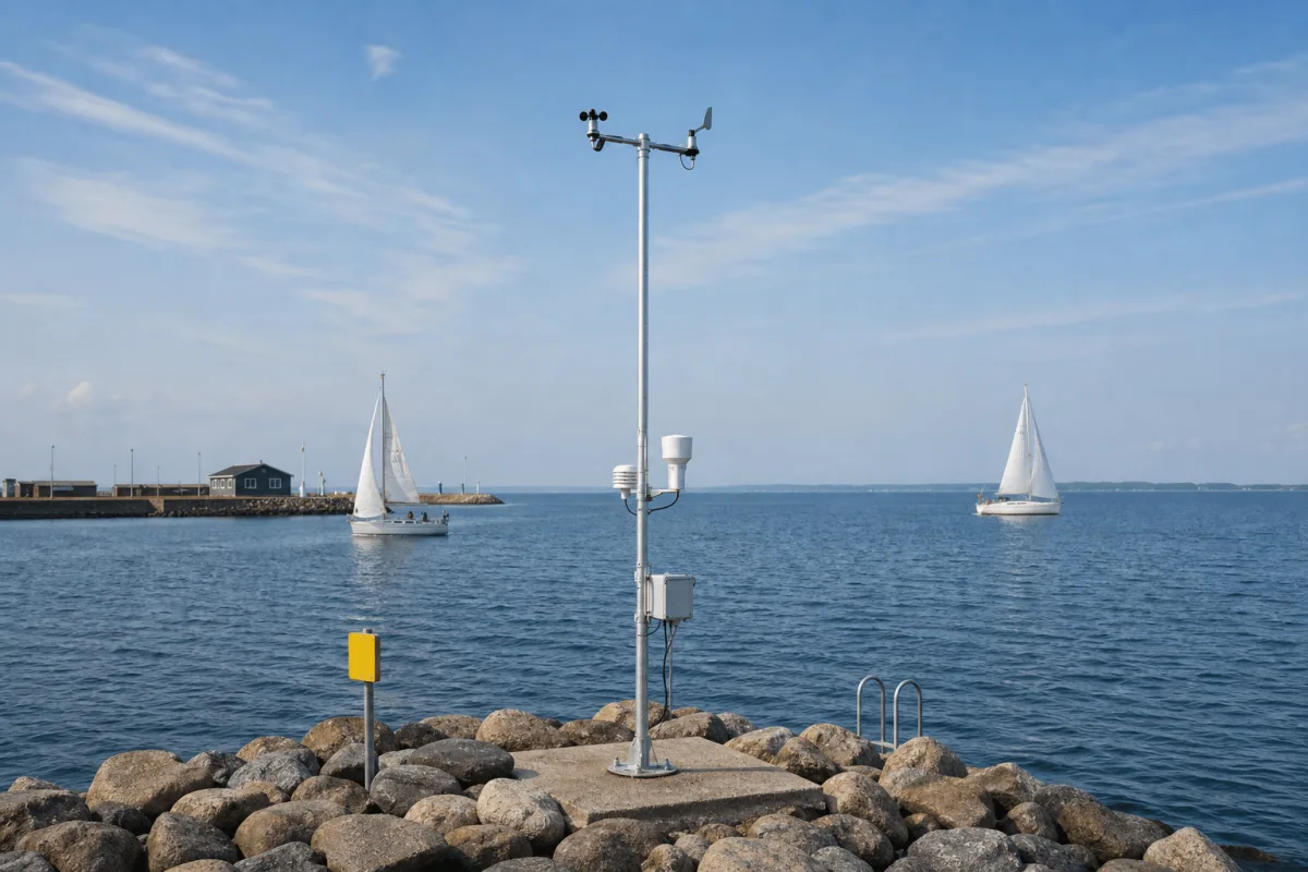
Typical port positions are a pier, a breakwater at the harbor entrance or the roof of the harbor building. Power is 230 V mains where it is available, or a solar cell for off grid spots such as an unpowered breakwater.
Observations are sent to the Emiko platform. The Warning module provides notifications when configured thresholds are crossed, and the Forecast module supports planning with weather forecasts alongside local readings. Historical records allow the harbor to review conditions over time.
EasyShare publishes selected live readings and forecasts to a website or dashboard, or shares data with colleagues, partners and DMI where configured. Harbor personnel can access the information remotely. Pairing with OceanWatcher adds water measurements to the same operating view.
Begin with the operating area, the weather conditions you need to observe and the people who need the readings. Confirm the mounting position, available power, required sensors, alarm thresholds and whether selected information will be public. Measurement ranges, accuracy and the final equipment specification are confirmed for the proposed configuration.
Vikingegaarden supplies the Cumulus system from Denmark, with configuration advice informed by the developer's professional meteorology experience. For water measurements, compare OceanWatcher; for a land-based project, see the same WeatherStation family configured for construction and industrial sites.
In use
Meteorologist Torben Klausen is behind Cumulus, which makes a simple and light weather station suitable for ports: "In step with climate change and very violent weather, they are becoming unavoidable." Rungsted Harbor has had a station on its roof since 2016; KDY chairman Lars Ive calls it a great tool, when sailing and when deciding about a trip on the water with family or friends.
Good to know
Local wind speed, gusts and direction support decisions about vessel movements and exposed work. Temperature and precipitation add context for cargo handling and maintenance, while an optional visibility meter supports traffic planning. The station provides observations and warnings for the harbor team to use within its operating procedures.
Yes. Sailors can log into the app and get automatic data from the nearest station, and EasyShare can publish the readings on the harbor's website. Rungsted Harbor has had a station on its roof since 2016 and uses it both for sailing and for deciding whether to go out on the water.
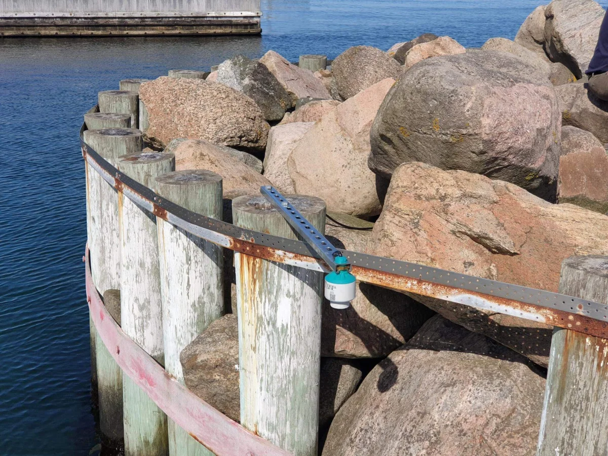
On a pier, a dock, a breakwater at the harbor entrance or the roof of the harbor building. It is a single slim mast powered from 230 V or a solar cell, and the measuring equipment is professional and designed to withstand harsh conditions.
The standard port configuration records wind speed, gust and direction, air pressure, temperature, humidity, dew point, soil temperature, rain detection and rainfall, UV and solar radiation.
Options include dedicated precipitation, ice, CO2, water-level, current, cloud-height and visibility sensors. The final set is selected for the harbor and its reporting needs.
EasyShare can publish selected live readings and forecasts on the harbor website or an operational dashboard. Access can also be provided to crews, partners and, where configured, the Danish Meteorological Institute.
Configuration advice is available when the station is specified. It is informed by the Cumulus system developer's more than 40 years of professional meteorology work, including experience at DMI and DR.
Cumulus WeatherStation uses 230 V mains power, with a solar option for locations such as a breakwater without a grid connection. Power equipment, mounting and sensor requirements are agreed for the installation before ordering.
Water level and current measurement are available as options. A station can also be paired with OceanWatcher water monitoring, with weather and water data brought into the same Emiko view. The required measurements and sensors are selected for each harbor.
Have a question about your project?
Talk to our teamExplore
Let’s talk about your project
Tell us about your harbor, where the mast can stand and who needs the data. We help with sensor selection, alarms, sharing and setup.
Tinnetvej 70, 7173 Vonge, Denmark