
Complete solution · AtoN House Nordic
Harbour environment data
Harbour monitoring combines specified water and weather instruments with data access and alarms in Emiko.
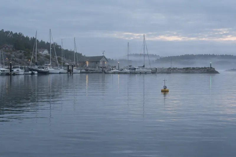
Commissioning verifies the status, alarms and controls supported by each connected instrument.
The components
Equipment
and interfaces
3 components with specified functions.
The labels identify their Emiko integration.
- 01Full Emiko integration
Water level gauges
OceanWatcher WLM station
Combines above-water radar, mounting and VikMote logger; WLM 100 or WLM 200 power is selected for the site.
Product page - 02Full Emiko integration
Weather stations
Cumulus port weather station
Combines sensors, mast, logger and the selected supply; sends readings to Emiko for access and configured alarms.
Product page - 03Full Emiko integration
Water level gauges
OceanWatcher WCM 100 option
Adds submerged acoustic current measurement with a pole, bracket, logger and model-specific supply.
Product page
How it works
From the plan to the
commissioned installation
The required measurements determine the instruments and siting. Data interfaces and acceptance checks are agreed before installation.
- 01
Define measurements
The specification records parameters, measurement intervals, required accuracy and intended data use.
- 02
Select locations
Select representative sensor positions, a surveyed level datum, stable mounting and protected cable routes.
- 03
Configure telemetry
Select each model and its mains or solar supply; include logger loads, communications and the required autonomy.
- 04
Install instruments
Install and reference the sensors; verify readings and orientation against the specified acceptance criteria.
- 05
Verify data
Test Emiko readings, records, signal-loss and threshold alarms, access rights and any EasyShare publication.
Where it is used
Harbour measurement installation sites
Port authorities, pilot services, dredging teams and marina operators requiring local water and weather measurements.
- 01
A harbour entrance requiring fixed current and wind measurements
- 02
A marina publishing selected local weather readings
- 03
A quay requiring water level records and threshold alarms
In service
Rungsted Harbour weather station
The Cumulus product page records a weather station at Rungsted Harbour since 2016. This supports the weather-station element only; it does not establish a combined OceanWatcher or measuring-buoy installation there.
Read the casePlanning
Delivery scope
and equipment options
Delivered by Vikingegaarden
- Equipment specification from the marking plan, site data and operating requirements
- Component supply with the agreed manufacturer documentation
- Installation and commissioning, or technical support for the appointed contractor
- Emiko configuration and acceptance checks for supported equipment interfaces
- Service scope, inspection requirements and spare parts confirmed in the quotation
Good to know
Before the
quotation
Can selected measurements be published?
EasyShare can publish selected supported readings. The project confirms available data, access permissions and the receiving website or system. Data export requirements form part of the specification.
Which measurement ratings apply?
Sensor accuracy and operating limits are confirmed on request. WLM 100 has no solar option; WLM 200 and WCM 100 have model-specific solar and battery options. Floating buoy data access is separate, with no assumed Emiko integration.
What is required for a quotation?
The enquiry requires measurement parameters, required accuracy, site coordinates, water depth, reference datum and reporting interval. Power, data access, alarm thresholds and deployment duration should be included.
Plan this solution
Project quotation
The specification defines the equipment, installation scope and price.
The enquiry requires a chart, positions, marking requirements, mounting details, available power and required autonomy.